Charenton
Charenton, a census-designated place in St. Mary Parish, traces its roots to the Chitimacha Tribe, one of Louisiana's oldest indigenous communities and the state's only federally recognized tribe. The town was named by early settler Alexandre Frère who, according to legend, said anyone wishing to move to the area "belonged in Charenton," an old asylum for the insane in Paris. Charenton blends French and Native heritage, and was home to many of the large sugar plantations of St. Mary Parish.
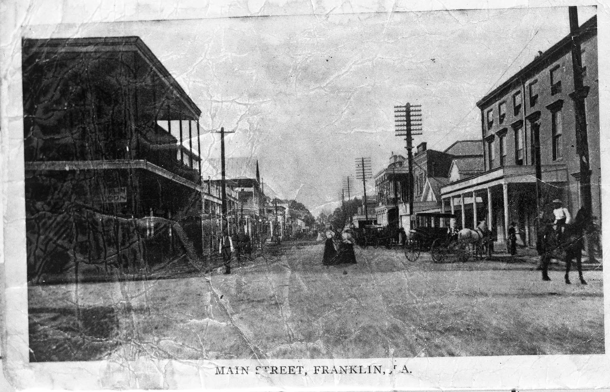
Franklin
Franklin, the parish seat of St. Mary Parish, was founded in 1808 as "Carlin's Settlement" by French-born pioneer Joseph Carlin and his family, and named in honor of Benjamin Franklin. It became the parish seat in 1811 and was incorporated as a town in 1820, making it Louisiana's first incorporated municipality. Early settlers included French, Acadian, German, Danish, and Irish immigrants, but English arrivals after the 1803 Louisiana Purchase heavily influenced its culture and architecture. By the 1830s, Bayou Teche served as Acadiana's main artery, fueling a booming sugar cane industry that made local planters among the South's wealthiest, leading to grand Greek Revival antebellum homes still preserved today. Franklin's Historic District, with over 420 structures on the National Register of Historic Places, reflects this prosperity.
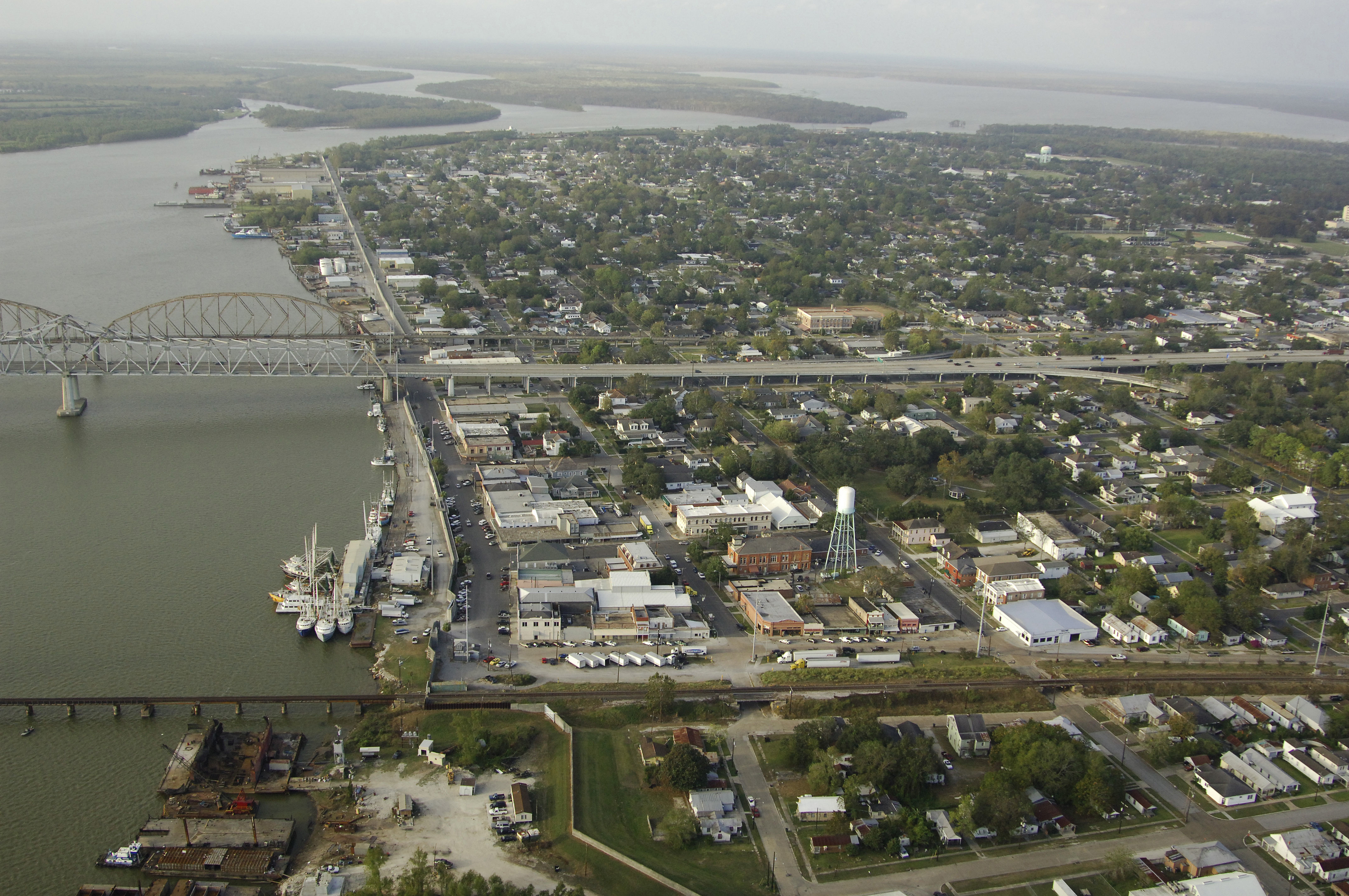
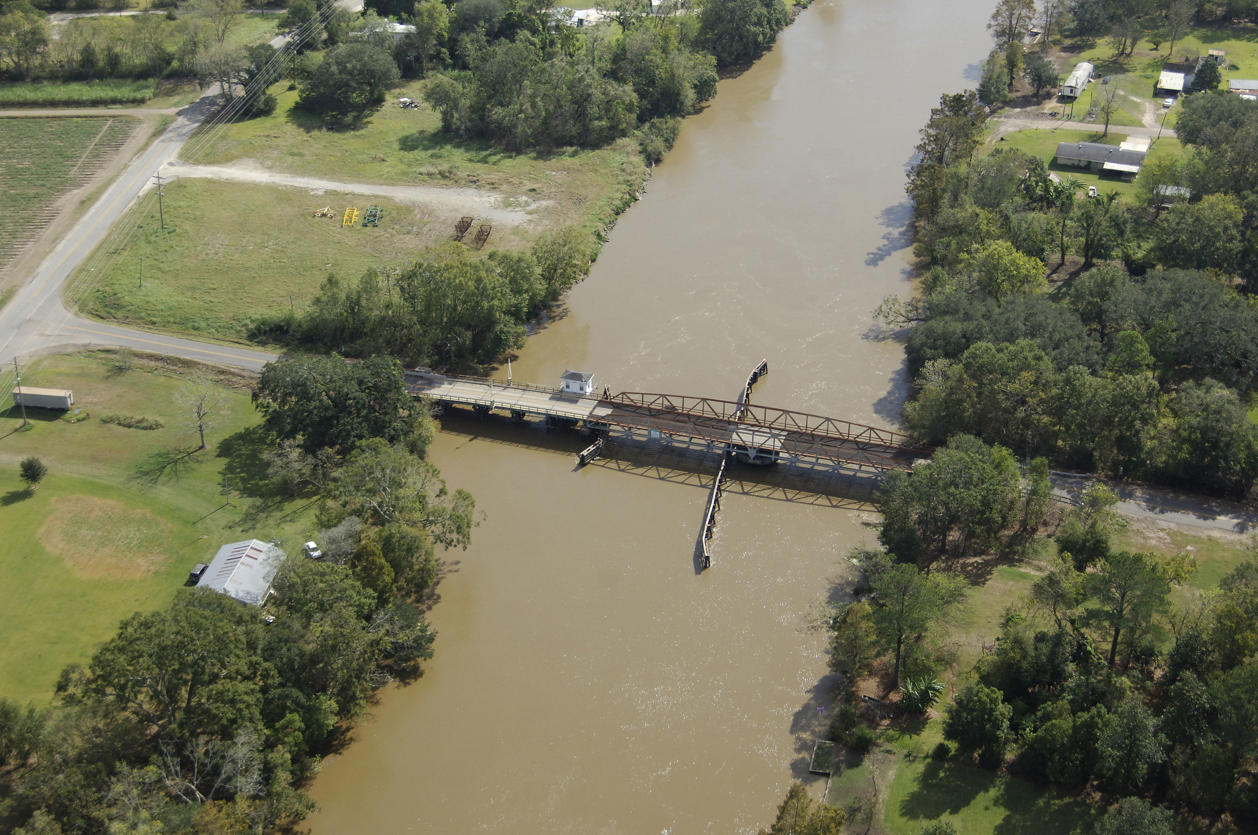
Morgan City
Morgan City, located at the mouth of the Atchafalaya ("long river" in the Attakapas language). Subdivided from a sugarcane plantation in the 1850s and renamed Brashear City after Kentucky physician Walter Brashear, it incorporated in 1860. During the Civil War, it was a Confederate stronghold with forts and gunboats but fell to Union forces in 1863, who used it as a supply base and plotted attacks on nearby salt mines. Post-war, steamship magnate Charles Morgan dredged the bay in the 1870s, establishing a rail terminus and renaming the town Morgan City in 1876; it became a trade hub for fur, cypress timber, and seafood. The late 19th and early 20th centuries saw growth with steamboats, railroads, and early film shoots (e.g., 1918's Tarzan of the Apes in the swampy basin). The 1947 oil discovery sparked an offshore boom, adding "petroleum" to the annual Shrimp Festival (est. 1930s).
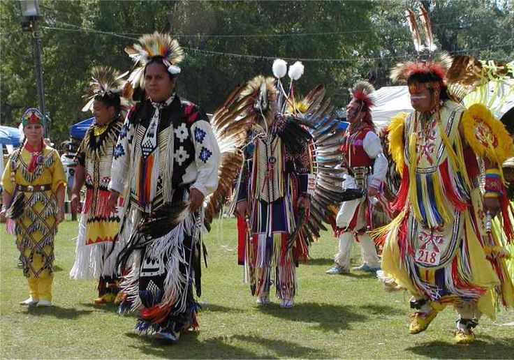
Chitimacha Reservation
The Chitimacha Tribe of Louisiana are the only Native American tribe in Louisiana still retaining control of their land. Their reservation, the only Native American reservation in Louisiana, is located in Charenton, on the Bayou Teche in St. Mary Parish. As of 2011, they numbered approximately 1100 members. Today, they continue to revitalize their once-dormant language and preserve their cultural heritage through education, museum work, and traditional arts.
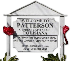
Patterson
During the early 19th century, a group of Pennsylvania Dutchmen boarded a sailing vessel in New Orleans and ventured into the Bayou Teche. One of them, Hans Knight, decided to settle his family in what is now Patterson. The community was originally called Dutch Settlement, Dutch Prairie, and Dutch Town. In 1832, Captain John Patterson, a trader from Indiana, settled the area that became a town named for him. Originally called Pattersonville after the captain successfully moved the post office there, it shortened its name to Patterson in 1907.